
 Search
3/20 Spring Snowstorm Observations / Final Call Snow Map
Page 2 of 19 •  1, 2, 3 ... 10 ... 19
 ![]()
Re: 3/20 Spring Snowstorm Observations / Final Call Snow Map
![]() by algae888 Fri Mar 20, 2015 5:21 am
by algae888 Fri Mar 20, 2015 5:21 am

algae888- Advanced Forecaster

- Posts : 5311
Join date : 2013-02-05
Re: 3/20 Spring Snowstorm Observations / Final Call Snow Map
![]() by algae888 Fri Mar 20, 2015 5:23 am
by algae888 Fri Mar 20, 2015 5:23 am

algae888- Advanced Forecaster
- Posts : 5311
Join date : 2013-02-05
Re: 3/20 Spring Snowstorm Observations / Final Call Snow Map
![]() by algae888 Fri Mar 20, 2015 5:27 am
by algae888 Fri Mar 20, 2015 5:27 am

algae888- Advanced Forecaster
- Posts : 5311
Reputation : 46
Join date : 2013-02-05
Age : 61
Location : mt. vernon, new york
Re: 3/20 Spring Snowstorm Observations / Final Call Snow Map
![]() by snow247 Fri Mar 20, 2015 5:29 am
by snow247 Fri Mar 20, 2015 5:29 am
2004blackwrx wrote:So frustrating to see more snow south.
I'm used to it lol, it's crazy.

snow247- Pro Enthusiast

- Posts : 2417
Reputation : 0
Join date : 2014-08-27
Location : Mount Ivy, NY - Elevation 545'
Re: 3/20 Spring Snowstorm Observations / Final Call Snow Map
![]() by docstox12 Fri Mar 20, 2015 5:49 am
by docstox12 Fri Mar 20, 2015 5:49 am
Anyway,26 degrees here and radar looks pretty good.Just want to hit 70 inches with this storm.Also will be fun to watch.Very well may be the last accumulating snow until next Fall-Winter.

docstox12- Wx Statistician Guru

- Posts : 8502
Reputation : 222
Join date : 2013-01-07
Age : 73
Location : Monroe NY
Re: 3/20 Spring Snowstorm Observations / Final Call Snow Map
![]() by sroc4 Fri Mar 20, 2015 6:12 am
by sroc4 Fri Mar 20, 2015 6:12 am
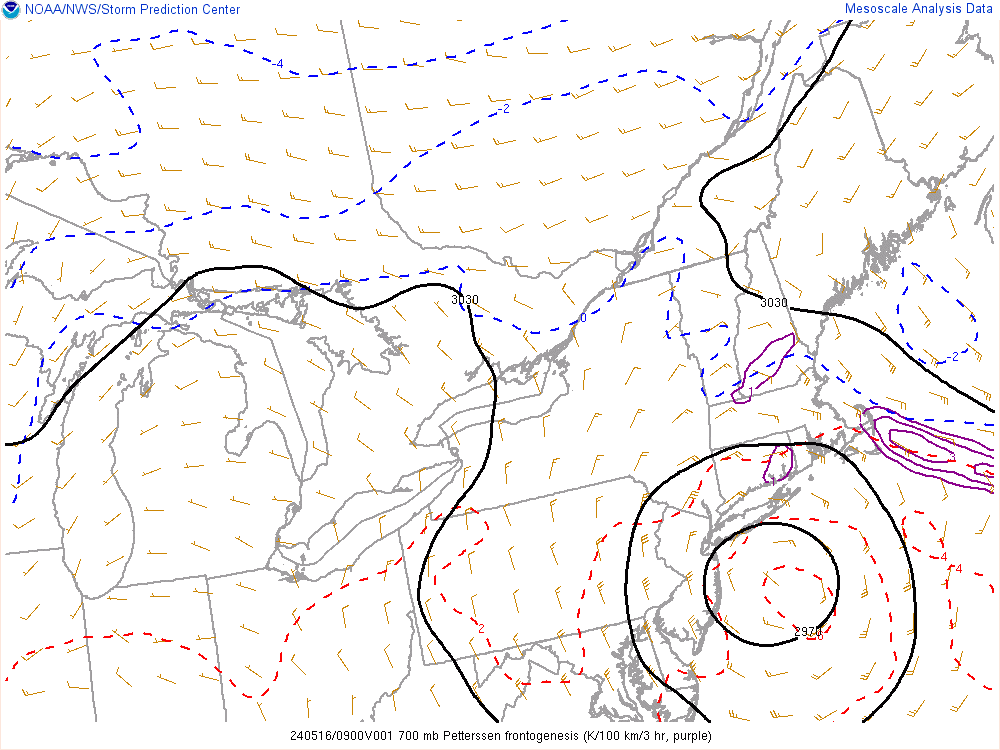
algae888 wrote:latest nws snow map

That's 4!
_________________
"In weather and in life, there's no winning and losing; there's only winning and learning."
WINTER 2012/2013 TOTALS 43.65"WINTER 2017/2018 TOTALS 62.85" WINTER 2022/2023 TOTALS 4.9"
WINTER 2013/2014 TOTALS 64.85"WINTER 2018/2019 TOTALS 14.25" WINTER 2023/2024 TOTALS 13.1"
WINTER 2014/2015 TOTALS 71.20"WINTER 2019/2020 TOTALS 6.35"
WINTER 2015/2016 TOTALS 35.00"WINTER 2020/2021 TOTALS 37.75"
WINTER 2016/2017 TOTALS 42.25"WINTER 2021/2022 TOTALS 31.65"

sroc4- Admin

- Posts : 8331
Reputation : 301
Join date : 2013-01-07
Location : Wading River, LI
Re: 3/20 Spring Snowstorm Observations / Final Call Snow Map
![]() by sroc4 Fri Mar 20, 2015 6:37 am
by sroc4 Fri Mar 20, 2015 6:37 am
_________________
"In weather and in life, there's no winning and losing; there's only winning and learning."
WINTER 2012/2013 TOTALS 43.65"WINTER 2017/2018 TOTALS 62.85" WINTER 2022/2023 TOTALS 4.9"
WINTER 2013/2014 TOTALS 64.85"WINTER 2018/2019 TOTALS 14.25" WINTER 2023/2024 TOTALS 13.1"
WINTER 2014/2015 TOTALS 71.20"WINTER 2019/2020 TOTALS 6.35"
WINTER 2015/2016 TOTALS 35.00"WINTER 2020/2021 TOTALS 37.75"
WINTER 2016/2017 TOTALS 42.25"WINTER 2021/2022 TOTALS 31.65"
sroc4- Admin
- Posts : 8331
Reputation : 301
Join date : 2013-01-07
Location : Wading River, LI
Re: 3/20 Spring Snowstorm Observations / Final Call Snow Map
![]() by Guest Fri Mar 20, 2015 6:47 am
by Guest Fri Mar 20, 2015 6:47 am
Guest- Guest
Re: 3/20 Spring Snowstorm Observations / Final Call Snow Map
![]() by Frank_Wx Fri Mar 20, 2015 7:15 am
by Frank_Wx Fri Mar 20, 2015 7:15 am
_________________
_______________________________________________________________________________________________________
CLICK HERE to view NJ Strong Snowstorm Classifications

Frank_Wx- Godzilla Seeker
- Posts : 21305
Reputation : 328
Join date : 2013-01-05
Age : 31
Location : Jersey City, NJ -

Re: 3/20 Spring Snowstorm Observations / Final Call Snow Map
![]() by sroc4 Fri Mar 20, 2015 7:23 am
by sroc4 Fri Mar 20, 2015 7:23 am
_________________
"In weather and in life, there's no winning and losing; there's only winning and learning."
WINTER 2012/2013 TOTALS 43.65"WINTER 2017/2018 TOTALS 62.85" WINTER 2022/2023 TOTALS 4.9"
WINTER 2013/2014 TOTALS 64.85"WINTER 2018/2019 TOTALS 14.25" WINTER 2023/2024 TOTALS 13.1"
WINTER 2014/2015 TOTALS 71.20"WINTER 2019/2020 TOTALS 6.35"
WINTER 2015/2016 TOTALS 35.00"WINTER 2020/2021 TOTALS 37.75"
WINTER 2016/2017 TOTALS 42.25"WINTER 2021/2022 TOTALS 31.65"
sroc4- Admin
- Posts : 8331
Reputation : 301
Join date : 2013-01-07
Location : Wading River, LI
Re: 3/20 Spring Snowstorm Observations / Final Call Snow Map
![]() by Dtone Fri Mar 20, 2015 7:33 am
by Dtone Fri Mar 20, 2015 7:33 am
Dtone- Wx Statistician Guru
- Posts : 1738
Reputation : 9
Join date : 2013-08-26
Location : Bronx, NY
Re: 3/20 Spring Snowstorm Observations / Final Call Snow Map
![]() by Dtone Fri Mar 20, 2015 7:33 am
by Dtone Fri Mar 20, 2015 7:33 am
Dtone- Wx Statistician Guru
- Posts : 1738
Reputation : 9
Join date : 2013-08-26
Location : Bronx, NY
Re: 3/20 Spring Snowstorm Observations / Final Call Snow Map
![]() by rb924119 Fri Mar 20, 2015 7:53 am
by rb924119 Fri Mar 20, 2015 7:53 am
rb924119- Meteorologist

- Posts : 6889
Reputation : 194
Join date : 2013-02-06
Age : 32
Location : Greentown, Pa
Re: 3/20 Spring Snowstorm Observations / Final Call Snow Map
![]() by docstox12 Fri Mar 20, 2015 8:01 am
by docstox12 Fri Mar 20, 2015 8:01 am
syosnow94 wrote:30 in Syosset. Dew point 14. we're good. I got ya Doc!!!
Whoa Nellie, there, Pal.It hasn't started yet and as Doc said, that was the fourth map!!!
I got my ruler ready!!!!!!!!
Cloudy, no wind.Virga about to arrive.Radar shows a good deal of snow N and W of me so that's a good sign for me, I think?
docstox12- Wx Statistician Guru
- Posts : 8502
Reputation : 222
Join date : 2013-01-07
Age : 73
Location : Monroe NY
Re: 3/20 Spring Snowstorm Observations / Final Call Snow Map
![]() by docstox12 Fri Mar 20, 2015 8:05 am
by docstox12 Fri Mar 20, 2015 8:05 am
Frank_Wx wrote:Looks like it's moving in quickly but I think that's virga. Could start between 9-10am now.
That's a few hours earlier, Frank.Guess this little baby is moving quick!
docstox12- Wx Statistician Guru
- Posts : 8502
Reputation : 222
Join date : 2013-01-07
Age : 73
Location : Monroe NY
Re: 3/20 Spring Snowstorm Observations / Final Call Snow Map
![]() by CPcantmeasuresnow Fri Mar 20, 2015 8:07 am
by CPcantmeasuresnow Fri Mar 20, 2015 8:07 am
Here in the northern suburbs I'm expecting a snooze fest. Heaviest precip keeps nudging south, anti-virga looks like it will be the code word again today up here. Anything more than 2 inches will surprise me.
Our storm will come in April when even I won't care, well maybe a little.
Doc stop looking at the radar, didn't you learn your lesson from the last storm? Meaningless
Just make sure the humidity continues increasing today not decreasing.

CPcantmeasuresnow- Wx Statistician Guru
- Posts : 7274
Reputation : 230
Join date : 2013-01-07
Age : 103
Location : Eastern Orange County, NY
Re: 3/20 Spring Snowstorm Observations / Final Call Snow Map
![]() by docstox12 Fri Mar 20, 2015 8:16 am
by docstox12 Fri Mar 20, 2015 8:16 am
This particular pattern that got locked in had storms that went S and E this season but nonetheless giving us a "ham and egg" or journyman's winter, no big blowout storms but a lot of smaller events that added up nicely.
I'm locked in a race here with Jimmy out in LI to see who hits 70 inches,LOL!
Oh, and if we get an event in April like we did in November, you'll get lit up for it.Once a snow weenie, always.... Your fellow addict, DOC
Oh, 26, cloudy, 35% and the Doc Radar( my eyeballs) see NADA
docstox12- Wx Statistician Guru
- Posts : 8502
Reputation : 222
Join date : 2013-01-07
Age : 73
Location : Monroe NY
Re: 3/20 Spring Snowstorm Observations / Final Call Snow Map
![]() by Quietace Fri Mar 20, 2015 8:25 am
by Quietace Fri Mar 20, 2015 8:25 am

Quietace- Meteorologist - Mod

- Posts : 3687
Reputation : 33
Join date : 2013-01-07
Age : 27
Location : Point Pleasant, NJ
Re: 3/20 Spring Snowstorm Observations / Final Call Snow Map
![]() by Guest Fri Mar 20, 2015 8:45 am
by Guest Fri Mar 20, 2015 8:45 am
Hope I'm wrong.
Guest- Guest
Re: 3/20 Spring Snowstorm Observations / Final Call Snow Map
![]() by sroc4 Fri Mar 20, 2015 9:08 am
by sroc4 Fri Mar 20, 2015 9:08 am
_________________
"In weather and in life, there's no winning and losing; there's only winning and learning."
WINTER 2012/2013 TOTALS 43.65"WINTER 2017/2018 TOTALS 62.85" WINTER 2022/2023 TOTALS 4.9"
WINTER 2013/2014 TOTALS 64.85"WINTER 2018/2019 TOTALS 14.25" WINTER 2023/2024 TOTALS 13.1"
WINTER 2014/2015 TOTALS 71.20"WINTER 2019/2020 TOTALS 6.35"
WINTER 2015/2016 TOTALS 35.00"WINTER 2020/2021 TOTALS 37.75"
WINTER 2016/2017 TOTALS 42.25"WINTER 2021/2022 TOTALS 31.65"
sroc4- Admin
- Posts : 8331
Reputation : 301
Join date : 2013-01-07
Location : Wading River, LI
Re: 3/20 Spring Snowstorm Observations / Final Call Snow Map
![]() by Quietace Fri Mar 20, 2015 9:10 am
by Quietace Fri Mar 20, 2015 9:10 am
Quietace- Meteorologist - Mod
- Posts : 3687
Reputation : 33
Join date : 2013-01-07
Age : 27
Location : Point Pleasant, NJ
Re: 3/20 Spring Snowstorm Observations / Final Call Snow Map
![]() by rb924119 Fri Mar 20, 2015 9:17 am
by rb924119 Fri Mar 20, 2015 9:17 am
rb924119- Meteorologist
- Posts : 6889
Reputation : 194
Join date : 2013-02-06
Age : 32
Location : Greentown, Pa
Re: 3/20 Spring Snowstorm Observations / Final Call Snow Map
![]() by devsman Fri Mar 20, 2015 9:18 am
by devsman Fri Mar 20, 2015 9:18 am

devsman- Pro Enthusiast
- Posts : 424
Reputation : 4
Join date : 2014-01-01
Age : 48
Location : merrick, ny (south shore of Long Island)
Re: 3/20 Spring Snowstorm Observations / Final Call Snow Map
![]() by docstox12 Fri Mar 20, 2015 9:24 am
by docstox12 Fri Mar 20, 2015 9:24 am
rb924119 wrote:I think that I may have a very few very lost snow flakes outside ahaha current temp is 22. No wind.
rb, feel sorry for you Man, you've been the outlier all winter season with these storms S and E bias.We need a coastal from the Gulf a little west of the BM to get blasted N and W.Ain't happening this season.
Cloudy,humidity dropping to 33%, 28 degrees.Nary a flake,LOL!
docstox12- Wx Statistician Guru
- Posts : 8502
Reputation : 222
Join date : 2013-01-07
Age : 73
Location : Monroe NY
Re: 3/20 Spring Snowstorm Observations / Final Call Snow Map
![]() by Guest Fri Mar 20, 2015 9:27 am
by Guest Fri Mar 20, 2015 9:27 am
1. I never said "bust" I said the radar doesn't look good so I'm not confident about accumulating snows right now.
2. Quietace has to be the most contrarian/negative person on this board when it comes to a snow forecast
Guest- Guest
Re: 3/20 Spring Snowstorm Observations / Final Call Snow Map
![]() by Guest Fri Mar 20, 2015 9:28 am
by Guest Fri Mar 20, 2015 9:28 am
Guest- Guest
Re: 3/20 Spring Snowstorm Observations / Final Call Snow Map
![]() by Frank_Wx Fri Mar 20, 2015 9:31 am
by Frank_Wx Fri Mar 20, 2015 9:31 am
_________________
_______________________________________________________________________________________________________
CLICK HERE to view NJ Strong Snowstorm Classifications
Frank_Wx- Godzilla Seeker
- Posts : 21305
Reputation : 328
Join date : 2013-01-05
Age : 31
Location : Jersey City, NJ -
Page 2 of 19 • 1, 2, 3 ... 10 ... 19 ![]()
|
|
|